Preview
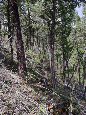
Plot Number
173
GPS Coordinates
40.451567, -105.436217
Vegetation Type
Foothill Ravine Forest
Date Created
6-15-2012
Latitude
40.451567
Longitude
-105.436217

173
40.451567, -105.436217
Foothill Ravine Forest
6-15-2012
40.451567
-105.436217