
Preview
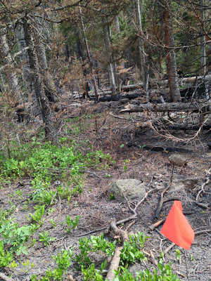
Plot Number
86
GPS Coordinates
40.349783, -105.663817
Vegetation Type
Mesic Forest (Mixed)
Date Created
6-15-2013
Comments on Environment
The aspect and slope are approximations, due to diverse micro-topography. Plot was burned in the 2012 Fern Lake Fire.
Latitude
40.349783
Longitude
-105.663817