
Preview
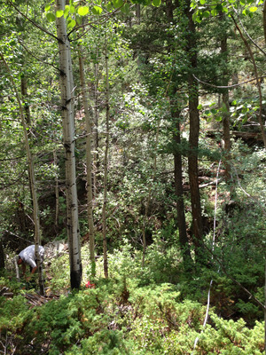
Plot Number
151
GPS Coordinates
40.376417, -105.44685
Vegetation Type
Montane Ravine Forest
Date Created
7-18-2013
Comments on Environment
Plot straddles a dry stream. More POTR on the side away from the road than on the side near it. No modules 1, 2, 5, or 6.
Latitude
40.376417
Longitude
-105.44685
IMG_3408.jpg (2506 kB)
IMG_3409.jpg (3009 kB)
IMG_3410.jpg (3674 kB)
IMG_3411.jpg (4677 kB)
IMG_3412.jpg (2464 kB)
IMG_3409.jpg (3009 kB)
IMG_3410.jpg (3674 kB)
IMG_3411.jpg (4677 kB)
IMG_3412.jpg (2464 kB)