
Preview
Plot Number
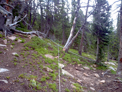
229
GPS Coordinates
40.27305, -105.584017
Vegetation Type
Pinus flexilis
Date Created
7-23-2012
Comments on Environment
Plot lies about 70 meters north of park service tool shed and 70 meters northwest of backcountry campsite. Plot as close as possible to historic while avoiding trail and campsite.
Latitude
40.27305
Longitude
-105.584017