
Preview
Plot Number
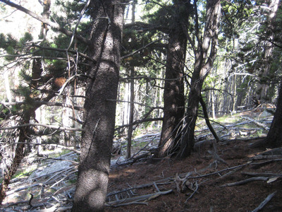
217
GPS Coordinates
40.290133, -105.53085
Vegetation Type
Pinus contorta (Xeric)
Date Created
7-19-2012
Comments on Environment
Modules 1, 2, 9, and 10 appear to be located in either a landslide or an avalanche area. The pictures included with plot 215 are the same as the ones included for this plot.
Latitude
40.290133
Longitude
-105.53085