
Preview
Plot Number
270
GPS Coordinates
40.404083, -105.545417
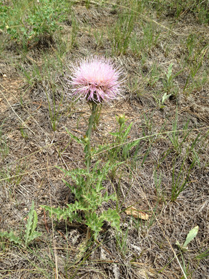
Vegetation Type
Montane Ravine Forest
Date Created
7-19-2013
Comments on Environment
Exact location of Peet's plot is uncertain. Some standing water in module 3; limited to three modules to Peet's topography, indicating 0/0 aspect slope. Aspect slope shifts after more than three modules.
Latitude
40.404083
Longitude
-105.545417