
Preview
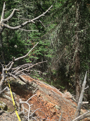
Plot Number
291
GPS Coordinates
40.426883, -105.603467
Vegetation Type
Pinus contorta (Xeric)
Date Created
7-27-2013
Comments on Environment
Diverse microtopography. Steepest slope lies near the gully (~44 degrees, modules 2, 3, and 4); less slope uphill (~32 degrees, modules 8, 9, and 10).
Latitude
40.426883
Longitude
-105.603467
IMG_3470.jpg (2109 kB)
IMG_3471.jpg (1966 kB)
IMG_3472.jpg (6107 kB)
IMG_3474_view down to gully.jpg (1919 kB)
IMG_3471.jpg (1966 kB)
IMG_3472.jpg (6107 kB)
IMG_3474_view down to gully.jpg (1919 kB)