
Preview
Plot Number
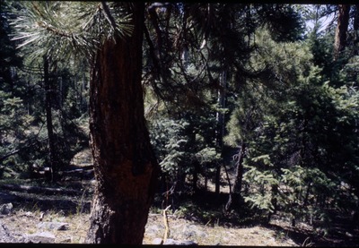
N220
Township and Range
No surveying; estimated to be 0.5 miles southwest of Electra Lake Island. T 38N, R 8W.
Vegetation Type
Abco quga
Date Created
7-14-1994
Form
Slide
Local Identifiers
robep0759
Rights Statement
These materials are covered by a Creative Commons CC BY-NC license, which allows for reuse and reproduction of the work non-commercially as long as it is credited to the original creator (see https://creativecommons.org/licenses/by-nc/4.0/ for more information). To request high-quality versions of the images, contact the UNC Archival Services Department at library.archives@unco.edu or 970-351-2854.
Pho0220.pdf (311 kB)
Sketch of plot location.
Sketch of plot location.
Keywords
Plants, Habitats & ecosystems, Forests & fields