Preview
Creation Date
10-11-2000
Description
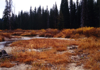
Deadwood outfitters upper horse unit grazing implementation monitoring module end of season monitoring measurements of residual stubble heights.
Location
Upper Deadwood river above the deadwood outfitters camp and West of the Porter Creek trailhead. Douuhp - waypoint name in gps N44* 27' 56.6" 11T0612409 W115* 35' 12.8" utm4924358
Forest
Boise National Forest
Ranger District
Lowman