Preview
Creation Date
10-11-2000
Description
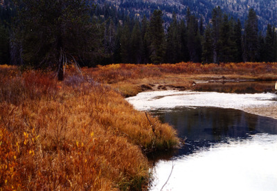
Deadwood outfitters upper horse unit grazing implementation monitoring module end of season monitoring measurements of residual stubble heights.
Location
Upper Deadwood river below the deadwood outfitters camp DOLUHP - Waypoint NAME IN GPS N44* 27' 38.0" 11T0612630 W115* 35' 03.2" UTM4923786.
Forest
Boise National Forest
Ranger District
Lowman